 SITU Santa Cruz
Type
dataset
56 record(s)
Type of resources
Available actions
Provided by
Years
Formats
Representation types
Update frequencies
Status
Scale
Resolution
-
This dataset is the definitive set of locality boundaries for the state of Victoria as defined by Local Government and registered by the Registrar of Geographic Names. The boundaries are aligned to Vicmap Property. This dataset is part of the Vicmap Admin dataset series.
-
This dataset is the definitive set of locality boundaries for the state of Victoria as defined by Local Government and registered by the Registrar of Geographic Names. The boundaries are aligned to Vicmap Property. This dataset is part of the Vicmap Admin dataset series.
-
Plazas disponibles.
-

Inscripciones anuales en el Registro de Act. Económicas
-

Parques industiales por municipio, normativa de creación, ubicación y estado en que se encuentra
-
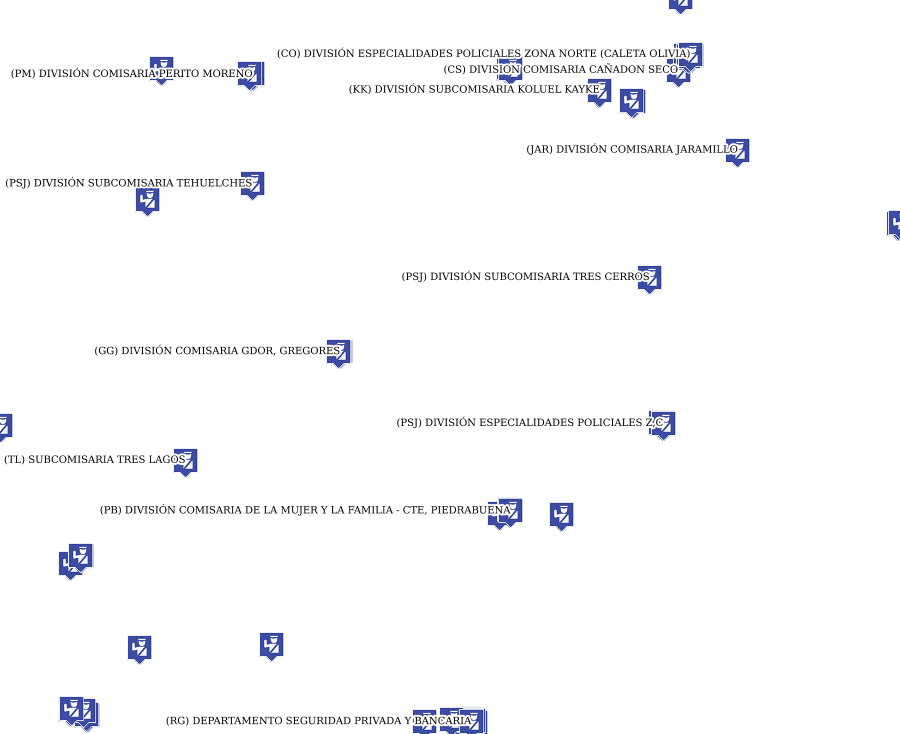
Nómina de Dependencias Policiales, Puestos Camineros, Cuarteles de Bomberos, por localidad (teléfono, dirección, Jefe de Comisaria) y jurisdiccion
-

Portales web
-
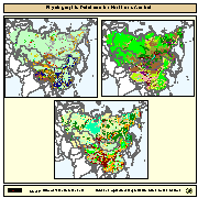
Physiographic maps for the CIS and Baltic States (CIS_BS), Mongolia, China and Taiwan Province of China. Between the three regions (China, Mongolia, and CIS_BS countries) DCW boundaries were introduced. There are no DCW boundaries between Russian Federation and the rest of the new countries of the CIS_BS. The original physiographic map of China includes the Chinese border between India and China, which extends beyond the Indian border line, and the South China Sea islands (no physiographic information is present for islands in the South China Sea). The use of these country boundaries does not imply the expression of any opinion whatsoever on the part of FAO concerning the legal or constitutional states of any country, territory, or sea area, or concerning delimitation of frontiers. The Maps visualize the items LANDF, HYPSO, SLOPE that correspond to Landform, Hypsometry and Slope.
-
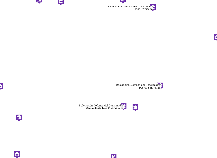
Nómina de oficinas de Defensa del Consumidor
-
Capacitados por localidad