 SITU Santa Cruz
Type
dataset
56 record(s)
Type of resources
Available actions
Provided by
Years
Formats
Representation types
Update frequencies
Status
Scale
Resolution
-
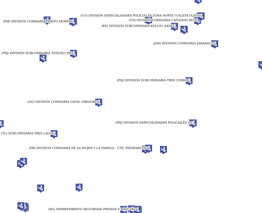
Nómina de Dependencias Policiales, Puestos Camineros, Cuarteles de Bomberos, por localidad (teléfono, dirección, Jefe de Comisaria) y jurisdiccion
-
This dataset is the definitive set of locality boundaries for the state of Victoria as defined by Local Government and registered by the Registrar of Geographic Names. The boundaries are aligned to Vicmap Property. This dataset is part of the Vicmap Admin dataset series.
-
Major hydrological basins and their sub-basins. This dataset divides the African continent according to its hydrological characteristics. The dataset consists of the following information:- numerical code and name of the major basin (MAJ_BAS and MAJ_NAME); - area of the major basin in square km (MAJ_AREA); - numerical code and name of the sub-basin (SUB_BAS and SUB_NAME); - area of the sub-basin in square km (SUB_AREA); - numerical code of the sub-basin towards which the sub-basin flows (TO_SUBBAS) (the codes -888 and -999 have been assigned respectively to internal sub-basins and to sub-basins draining into the sea)
-

Inscripciones anuales en el Registro de Act. Económicas
-

Sede Caja de Servicios Sociales
-
Capacitados por localidad
-
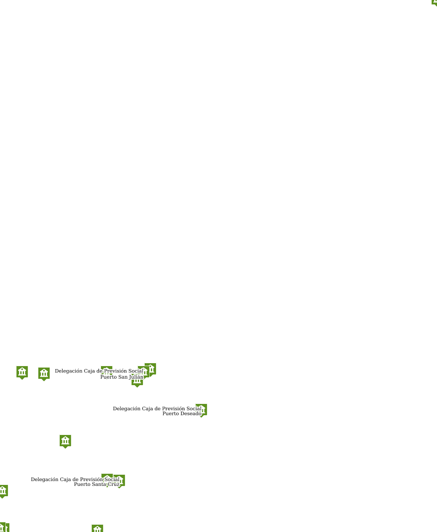
Delegaciones de la Caja de Previsión Social
-
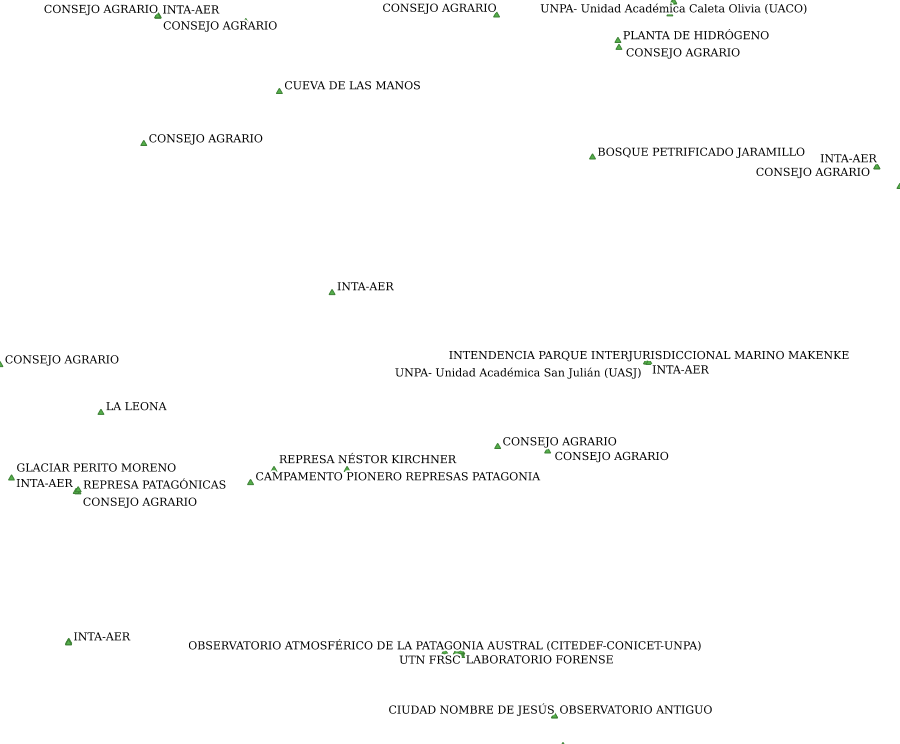
Centros culturales y puntos de interés
-

Portales web
-
Cantidad de clientes que tiene el servicio